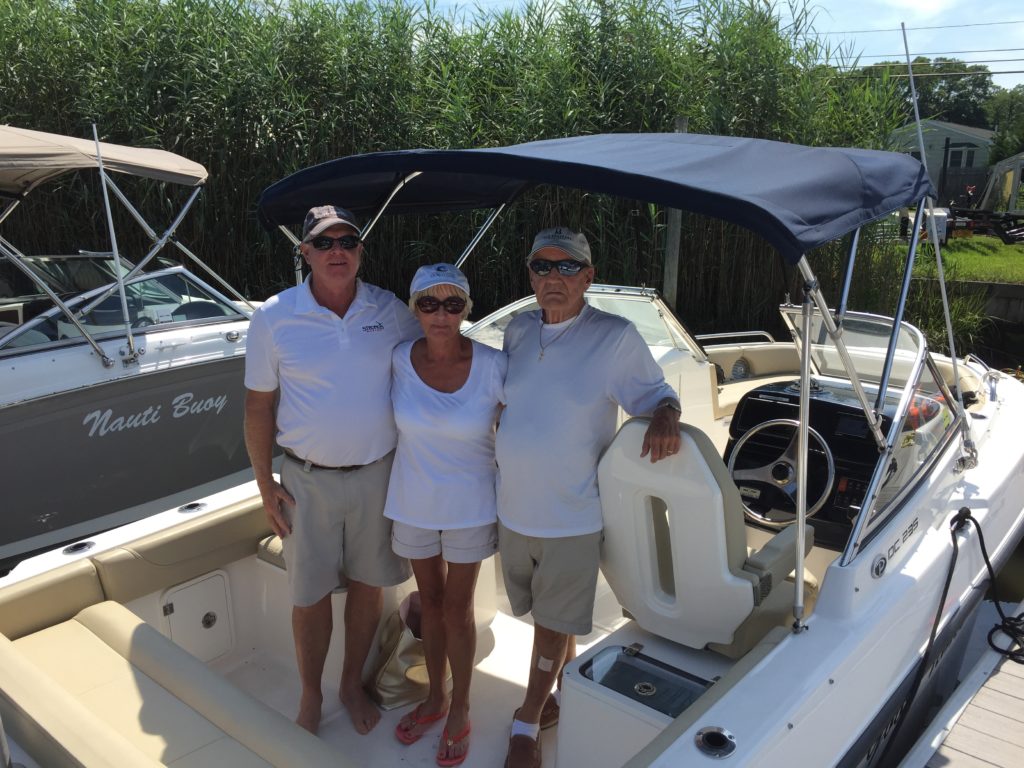
Taking a day off for location research is one of the fun parts of writing a novel especially when you have to go out on the water on the most gorgeous day of the summer, and you can bring along your spouse to enjoy the day. It hopefully makes up, a little, for all the other days when he has to do stuff on his own, or keep quiet because you’re writing.
Fun Part of Writing A Thriller
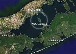
A major part of my new thriller is set on the North Fork, and I’ve posted photos from previous location research trips, but several key scenes take place on the waters of Peconic Bay. That’s the body of water separating the more bucolic North Fork (where my female protagonist’s husband runs a marina and inn) from the frenetic Hamptons on the South Fork. So, this time I needed a boat and a captain.
Out on Peconic Bay
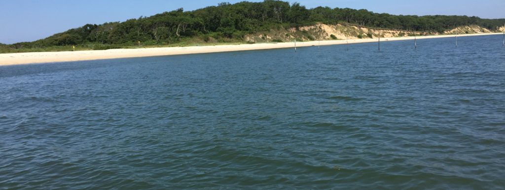
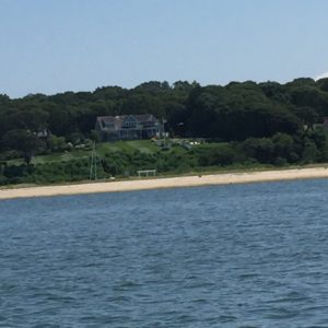
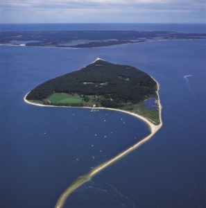 Specifically, I wanted to get closer to Robins Island, a 435-acre private island that sits in the middle of the Bay. There’s no way onto the island unless you’re a guest of billionaire owner, hedge fund manager, Louis Moore Bacon, or you anchor offshore, and wade onto one of the two spits of sand at either end of the island. The owner seems not to mind when boaters set up chairs and umbrellas on the north spit even though there are stories of guard dogs — and ospreys — patrolling the interior of the island.
Bacon bought the island in a 1993 bankruptcy court auction for $11 million. He has poured money into restoring the ecology of the island, replanting oak trees and protecting the endangered Eastern mud turtle.
Island of Adventure
Ever since reading Enid Blyton’s Island of Adventure, as a child, I’ve been fascinated by islands especially if they are private and inaccessible to mere mortals. So, of course, I had to set some key scenes in Book 3 on Robins Island. Happily for me, Capt. Rick has lived most of his life in these parts, and as a teenager had snuck onto the island and explored it. So, he was a fount of knowledge.
Key Scene in Book 3

In one of the climactic scenes in Book 3, the female protagonist, a former tabloid reporter – and city girl at heart- must jump off a boat, and swim for the island, scramble up the bluffs and run through the woods in fear for her life. Yes, yes, I could have written the scene without visiting, but I wanted to make sure it could be done.
Currents, Tides & Men With Guns?
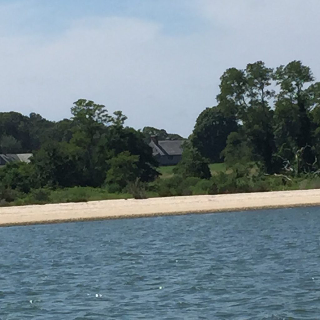
For example, are there currents and tides that would sweep her out into the middle of the Bay rather than onto the island? ( No, not most of the time. The half-mile spit at the north end of the island forms a protected lagoon of sorts on the east side.) Is it possible to scale the bluffs? (Yes, on the east side of the island. On the west side, the island is protected by rocks which the owner set around the shoreline to protect against erosion.) What about running through the woods? (Yes, also possible, if you avoid vines and thicker undergrowth.) Would you get lost? (Not really. At some point you’d reach one shore or the other.) Could you get shot? (Only by mistake if you happened to stumble into a pheasant shoot reportedly organized occasionally by the owner for guests.) Are there homes on the island? (Yes. The main house, a couple of guest houses and outbuildings — and a heliport– on the north end, near the dock. There used to be sheds/outbuildings near the south end, too.)
Across to Shelter Island
I also needed to figure distances and times between key locations featured in the book. For example, how far, and how long would it take by power boat from Cutchogue Harbor on the North Fork to West Neck Harbor on Shelter Island (approx. 20 minutes at about 20 knots). By sailboat? (About an hour-and-a-half.)
…And To Meschutt Beach
I also had to know how long it would take from Cutchogue Harbor by power boat to the county marina on Shinnecock Canal adjacent to Meschutt Beach on the South Fork? (About 10-15 minutes at 20 knots.) Oh, and by the way knots measures ‘nautical miles per hour’ so never say, “20 knots per hour.”
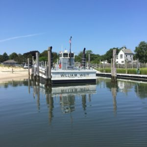
Motoring Around the Bay
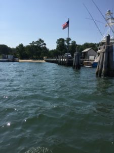
Our actual course after leaving Strong’s marina on North Sea Harbor took us past Towd Point directly across to the island, skirting South Race and the southern spit of sand. We circled the island through the North Race which separates the spit and the waterfront of New Suffolk on the North Fork. It looked like such a narrow body of water at that point, I wondered if it was possible to swim across from the mainland to the tip of the sand spit. No, said Capt. Rick. The tides and currents at that point can be very strong, and then you’d have to dodge all the boats speeding by — which, of course, gave me an idea for an additional great scene in the book.
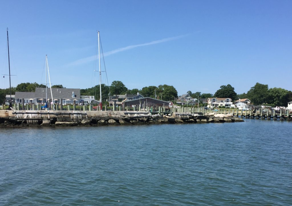
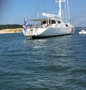
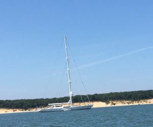
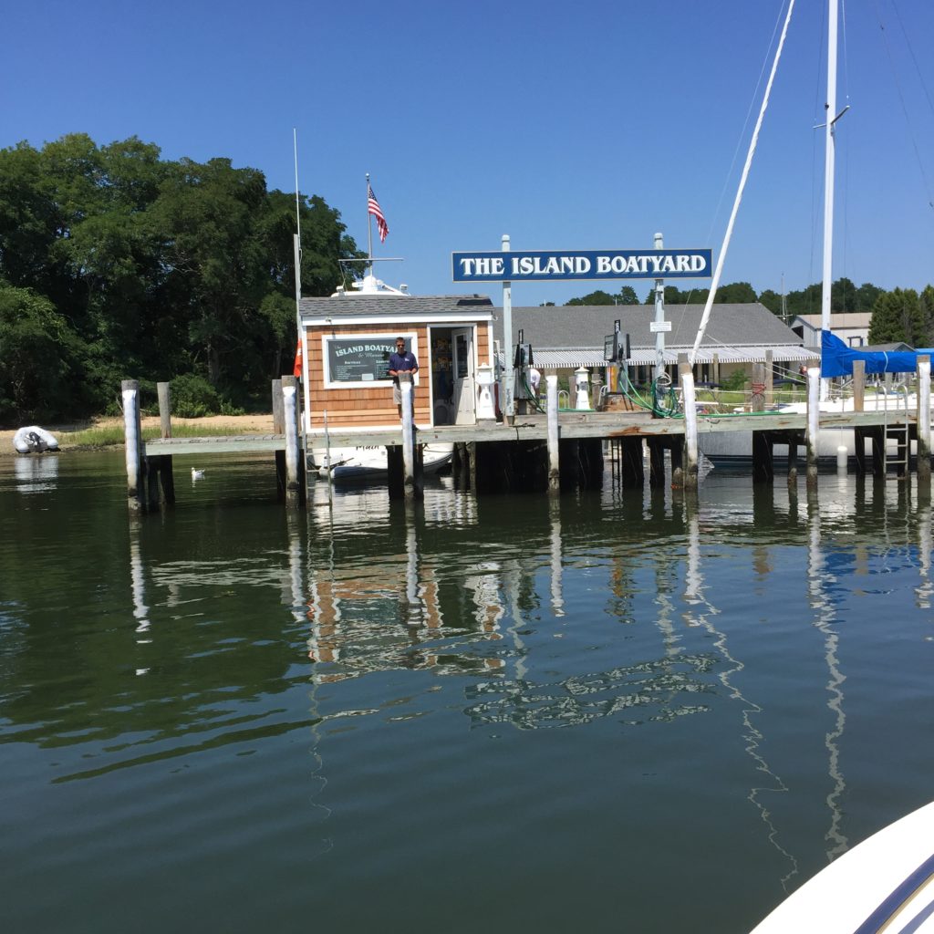
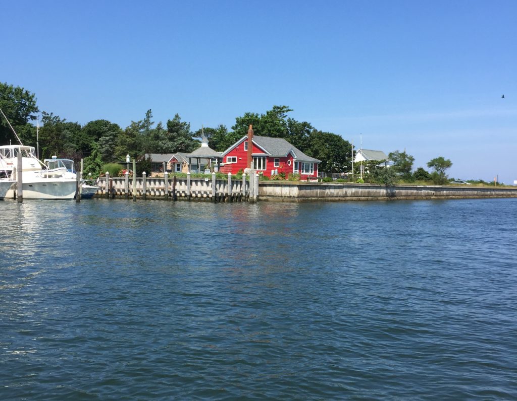
Speeding away from the west shore of the island, we headed for the Shinnecock Canal in Hampton Bays on the South Fork. After visiting the county marina, we motored back around the island’s southern tip and along the east shore (where the magnificent Hyperion sailboat is anchored) and then headed east from New Suffolk around Cutchogue Harbor, eyeing the gorgeous homes on the water while I debated where to place the marina and Inn that is a major location in Book 3. Then we rounded Nassau Point and picked up speed heading for West Neck Harbor, Shelter Island.
 Good Times
Time taken: 4 Hours
Cost of Good Times boat rental w/Capt. Rick: $1,095.00
Tips, taxes, fuel: $270.00
Info, local color, research — & fun: Priceless
Photo Credit: Image from helicopter by Farhad Vladi at Panoramio;
Looks like a fabulous time 🙂
And tax deductible, too!!!!!!
it appears that research can be so much fun. What a gorgeous day you and Joe must have had. I love Shelter Island and have sailed to it and past that Island. It is so beautiful.
I miss my house barge, especially during the summer, but love living on the Husdson River with my Phil.
We are off to the beach today to visit my friends. Beach days are always the best….it is so relaxing.
I wish you the best with your book.
Have a great day.
Warmest regards to you and the great grandpa.
Candice
Hi Candice, I’m happy that my blog brought back great sailing memories for you. Definitely it is a fabulous part of the world! Thank you for reading, and for your comment.
Wow. So excited about reading the book! What a wonderful day spent on the water in the name of research.